 |
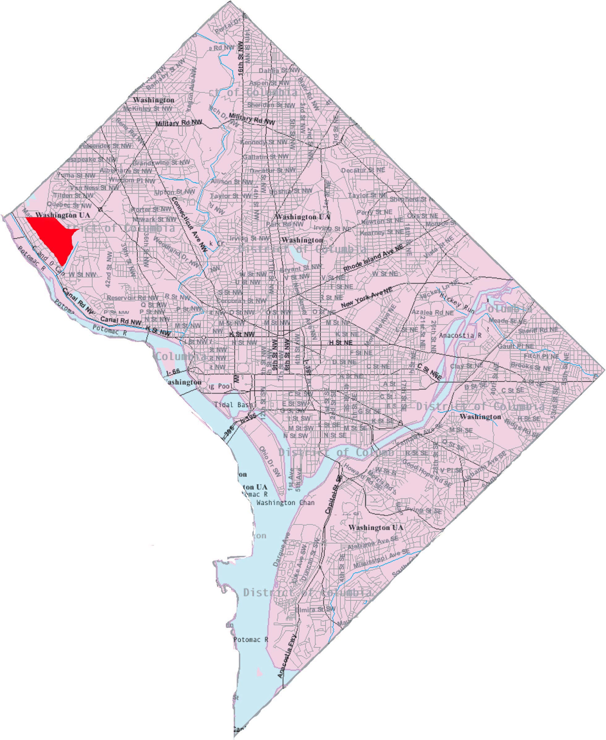
| By Msclguru [Public domain] via Wikimedia Commons |
by Peggy Robin
If you live in DC and participate in ANY social media -- Facebook, Twitter, Instagram, Pictogram,
GrammoTwit, Face-o-fact (OK, I made those last three up) -- I’m sure someone in
your circle has already posted a link to John Oliver’s pitch-perfect (and
well-sung) defense of DC voting rights. No matter if you’ve seen it before, it’s worth seeing again. And if you haven’t seen it yet, this is your chance to
find out what’s causing all the buzz. To paraphrase Evelyn Waugh, “It’s so banal,
saying you haven’t [seen the latest thing of the moment] if you haven’t.”
While we’re on the subject of DC’s position among the 50 states,
it’s worth a short detour to consider the position, both geographically and
psychically, of the 50 states as laid out on the road map of DC. So I turn your
attention to the methodologically rigorous and statistically solid analysis by
blogger and DCist co-founder Michael Grass, who created this inarguably
accurate table ranking the 50 states as DC avenues and streets according to
their “gravitas”:
It’s so very gratifying to find California coming in dead last
at something!
-----------
Still Life With Robin is published on the Cleveland Park Listserv and on All Life Is Local on Saturdays.

No comments:
Post a Comment